HWS 4.0
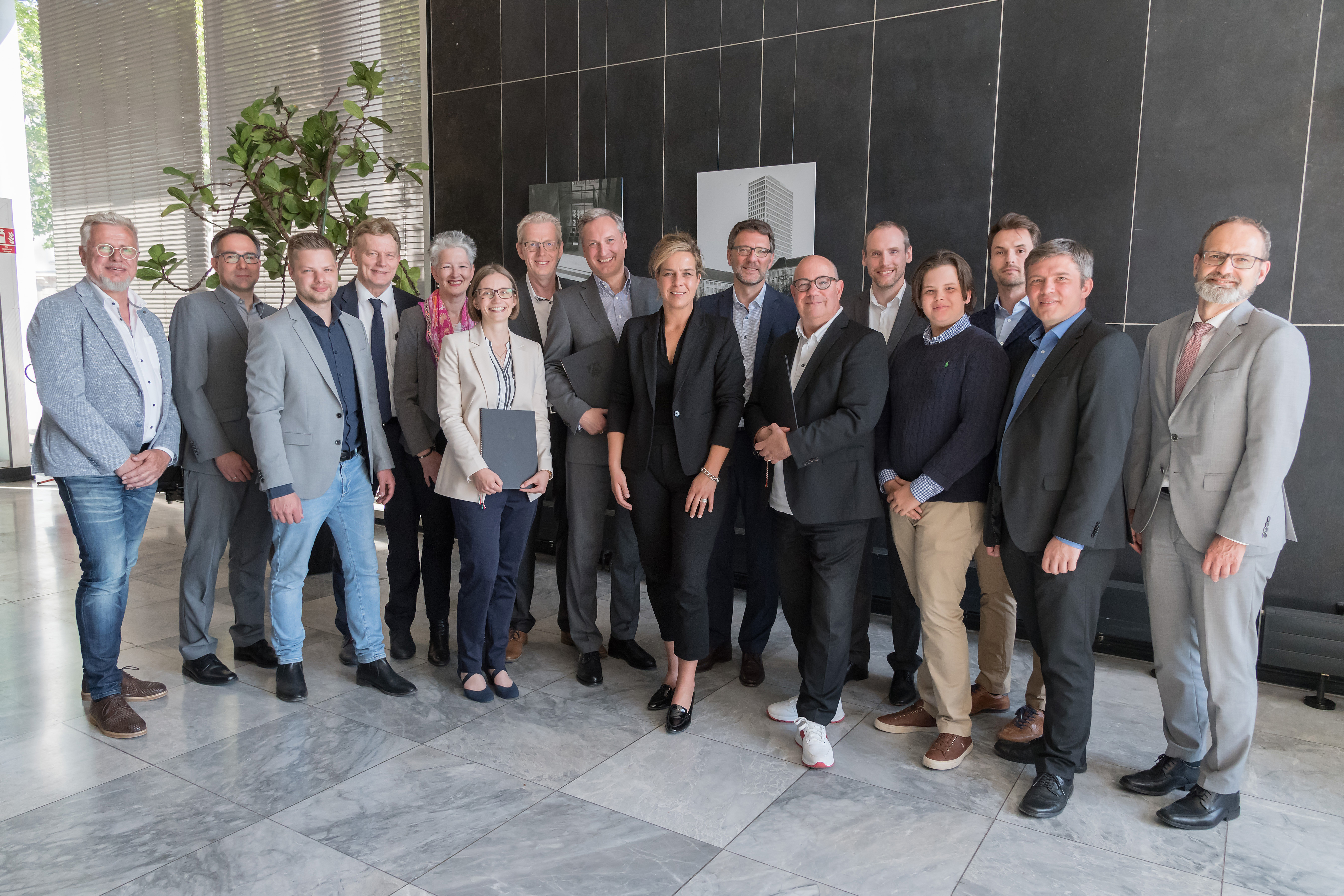
The consortium at the handover of the grant by Mona Neubaur, Minister for Economic Affairs, Industry, Climate Action and Energy of the State of North Rhine-Westphalia
AI-based Flood Protection System 4.0
The summer of 2021 severely shook the Bergisch region. Extreme rainfall and the associated sharp rise in water levels on watercourses led to dramatic flooding of dams, rivers and streams as well as critical infrastructure, such as the local canal system, and caused material damage in the multi-digit millions. Warehouses, shops, homes and public infrastructure were destroyed, human destinies were scarred and marked for a long time. Heavy rain and the resulting flooding is an increasingly dangerous weather event. In particular, the local economy and resident businesses in the Bergisch region are increasingly exposed to the latent danger of a flood disaster and see their existence threatened. Solutions for a fast and time-critical assessment of such situations and the prevention of economic damage are imperative, but pose enormous challenges to the existing IT infrastructure. In particular, the infrastructure for information procurement, condition assessment and condition forecasting benefits from modern technological developments in recent years and can insofar contribute to the early detection of events, such as last summer, which can greatly reduce further economic damage and protect the existence of local businesses and thus the added value of the Bergisch region.
The aim of the project is to use artificial intelligence (AI) methods to prevent flood damage for the protection of property in the local economy by developing an early warning system for the temporal and geospatial prediction of flooding events. The early warning system builds on existing information systems of the Wupper Association and uses state-of-the-art AI methods, more precisely machine learning and deep learning methods, for the data-driven prediction of water levels and flood hazards, taking into account the current weather situation and other environmental factors recorded by sensors, such as current water levels at water bodies, dams, retention basins and in the canal network, as well as precipitation amounts, underwater pressure, air humidity, air pressure and air temperature, and wind direction and strength. In the process, the AI is trained to recognise patterns in the high-dimensional sensor data that are related to a rise in water levels and thus form the basis for predicting rising water levels and possible flood hazards.